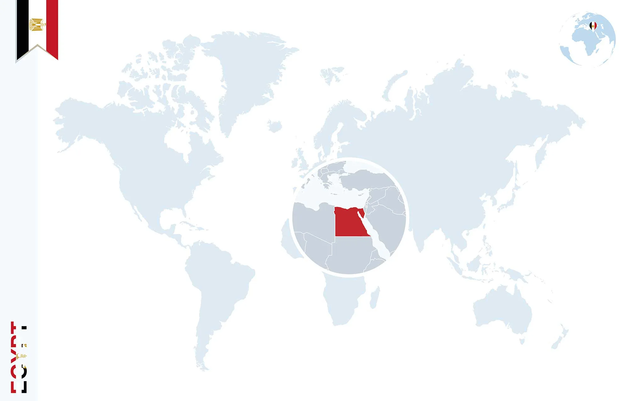
Natural regions of Egypt
Most of Egypt is desert. Most of the cultivated land lies close to the banks of the Nile, its main branches and its canals.
Egypt is often divided into two parts: Upper Egypt in the south and Lower Egypt in the north. The names follow the Nile, which flows from south to north and empties into the Mediterranean Sea.
Egyptians live on only 7.8% of the country’s land, which totals around 1.01 million km². Topographically, the land falls into four major sections: the Nile Valley and Delta occupy less than 4%, the Eastern Desert covers about 28%, the Western Desert 68%, and the Sinai Peninsula over 6% of the total populated area.
Nile Valley and Delta
The south of Egypt is a landscape of low mountains and desert. The north has wide valleys near the Nile, with desert to the east and west. North of Cairo lies the sprawling, triangular Nile Delta.
In Upper Egypt the Nile Valley runs from Halfa Valley to the south of Cairo, and in Lower Egypt the Delta runs from the north of Cairo to the Mediterranean Sea. The Nile flows from southern Egypt to the Mediterranean in the north and runs for about 1,532 kilometres through Egypt. Today the river has two branches in the Delta, Damietta and Rashid, which enclose the highly fertile farmland of the Delta.
Western Desert
The Western Desert extends from the Nile Valley in the east to the Libyan border in the west and has two sections. The northern section includes the coastal plain, the northern plateau and the Great Depression, with the oases of Siwa and Baharia. The southern section includes the other three oases, Farafra, Kharga and Dakhla, as well as El-Owainat in the far south.
Eastern Desert
The Eastern Desert extends from the Nile Valley in the west to the Red Sea, the Gulf of Suez and the Suez Canal in the east, and from Lake Manzalla on the Mediterranean in the north to the border with Sudan in the south. It holds minerals such as gold, coal and petroleum and is regarded as a reservoir of natural resources. Its mountains run along the Red Sea, with peaks rising to 3000 feet above sea level.
Sinai
The Sinai Peninsula is one of the world’s leading areas for religious tourism and one of the main destinations for visitors to Egypt. Its base faces the Mediterranean Sea in the north. The Suez Canal and the Gulf of Suez border the peninsula to the west and the Negev Desert to the north-east, while the Gulf of Aqaba reaches its shores to the south-east.
Sinai has three main sections. The south is rugged land of high granite mountains, known for St Catherine’s Monastery, which is considered the oldest continuously inhabited Christian monastery in the world. It also has the highest mountain in Egypt, which rises to 2637 m above sea level, and a number of beach resort towns such as Sharm El-Sheikh, Dahab, Nuweiba and Taba. Visitors usually arrive through Sharm el-Sheikh International Airport, across the border from Eilat or Taba, by road from Cairo, or by ferry from Aqaba in Jordan.
Middle Sinai is a plain with plentiful water, fed by rain that flows from the southern heights to the central plateau. It is bordered by the Tieh plateau, which marks the northern section of Sinai, extending to the Mediterranean Sea in the north. This is a possible route of the prophets Abraham, Jacob, Joseph and Jesus.
Frequently asked questions
What is the difference between Upper and Lower Egypt?
Upper Egypt is the south and Lower Egypt the north. The names follow the Nile, which flows from south to north into the Mediterranean.
How much of Egypt is desert?
Most of it. The Western Desert covers about 68% of the land, the Eastern Desert about 28%, while the Nile Valley and Delta occupy less than 4%.
Which oases are in the Western Desert?
Siwa and Bahariya in the north, and Farafra, Kharga and Dakhla in the south.
How do visitors usually reach South Sinai?
Most arrive through Sharm El Sheikh International Airport; others come by road from Cairo, across the Taba border or by ferry from Aqaba in Jordan.
What is the highest mountain in Egypt?
It is in South Sinai, near St Catherine's Monastery, rising to 2,637 m (Mount Catherine).